QGIS
Posts
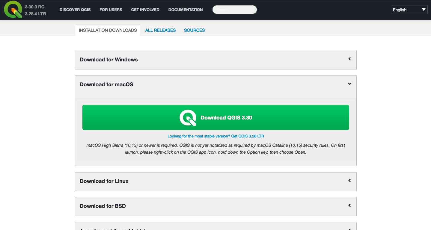
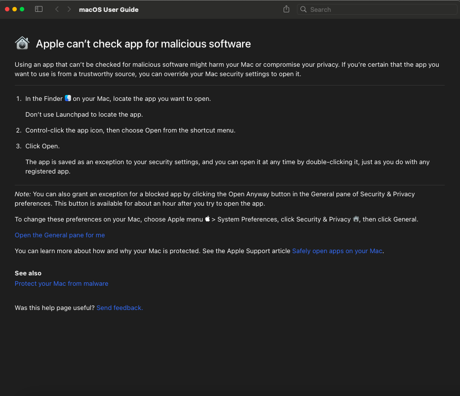
Downloading on a Mac can always be tricky. I was worried it wouldn’t work, seeing as my computer is a 2014 laptop with very little storage space, but I was pleasantly surprised with how quick the download and installation were. However, opening it was another story, as I had been warned…
Once I had opened it, I used this video from Klaus Karlsson – QGIS 3 for Absolute Beginners and Dr. Suzanna Krivulskaya’s QGIS tutorial to get started.
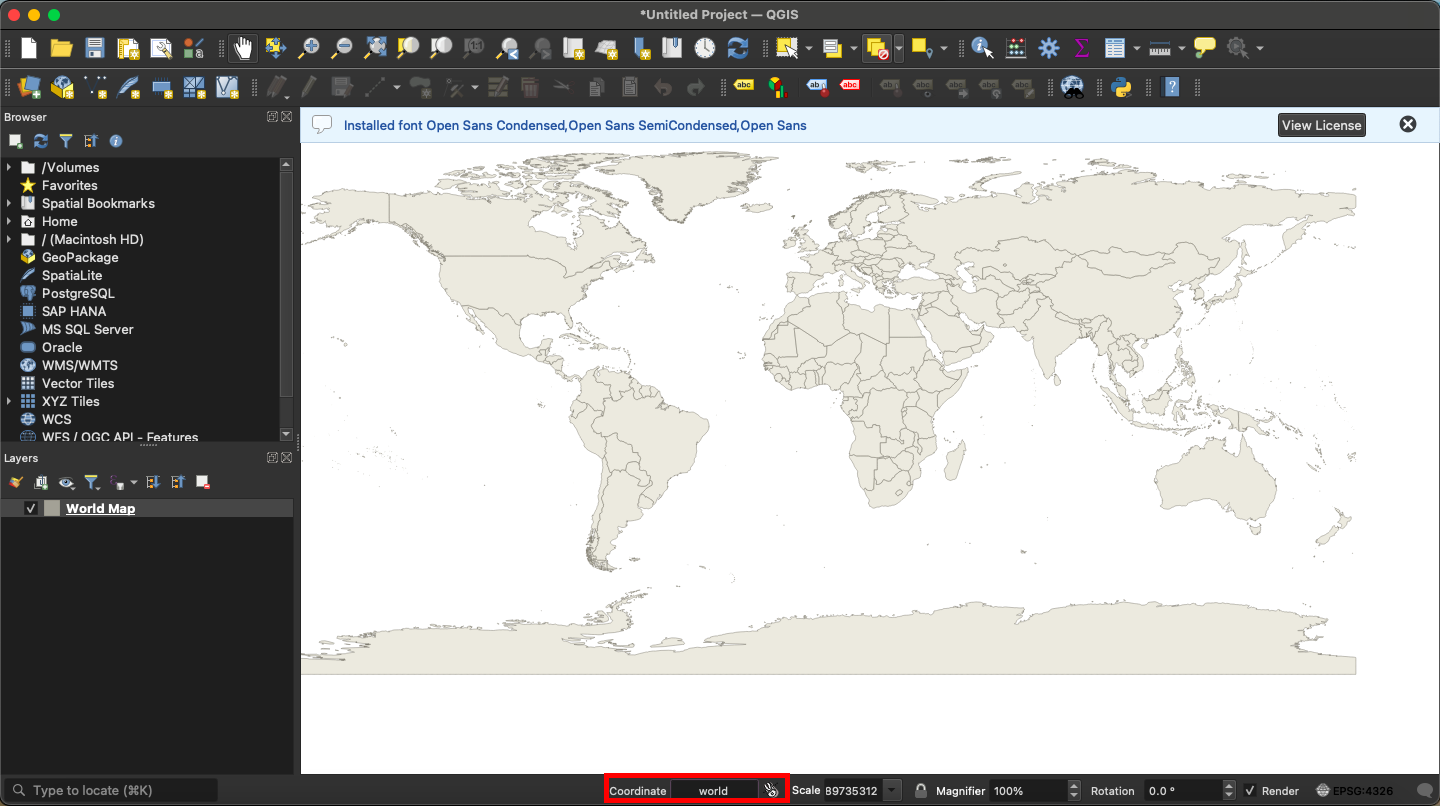
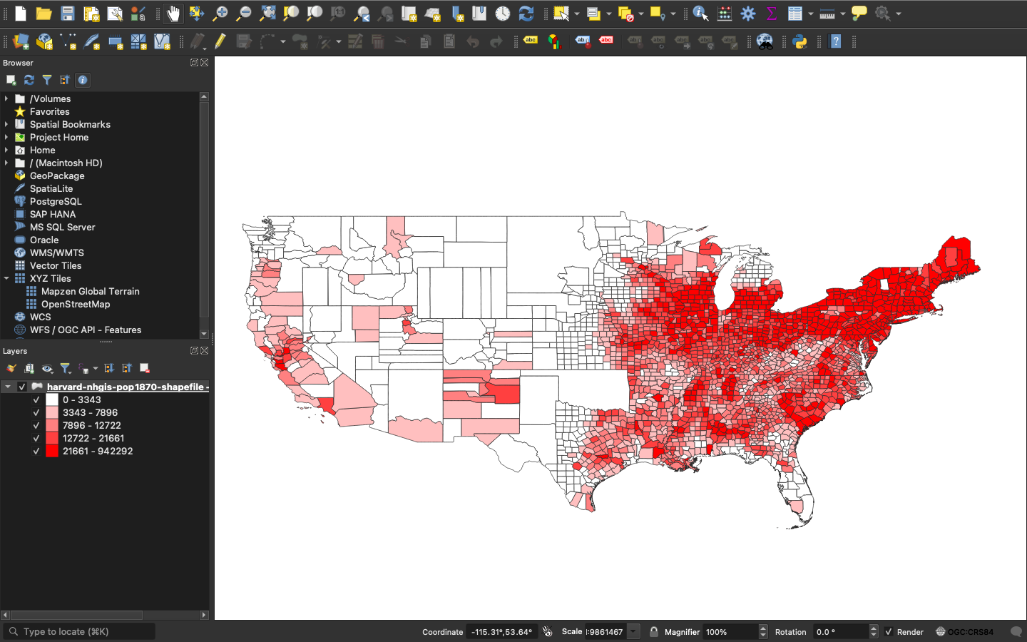
I relaxed a bit once Karlsson said to type “world” into the coordinate bar at the bottom of the screen. This made everything look a lot more like a map, which I think helped me a bit psychologically.
One thing I immediately learned was that, in order to delete anything in the “Layers” column, you needed to drag it over to your computer’s trash bin. There is no in-application delete mechanism from what I saw, but I could be wrong about that.
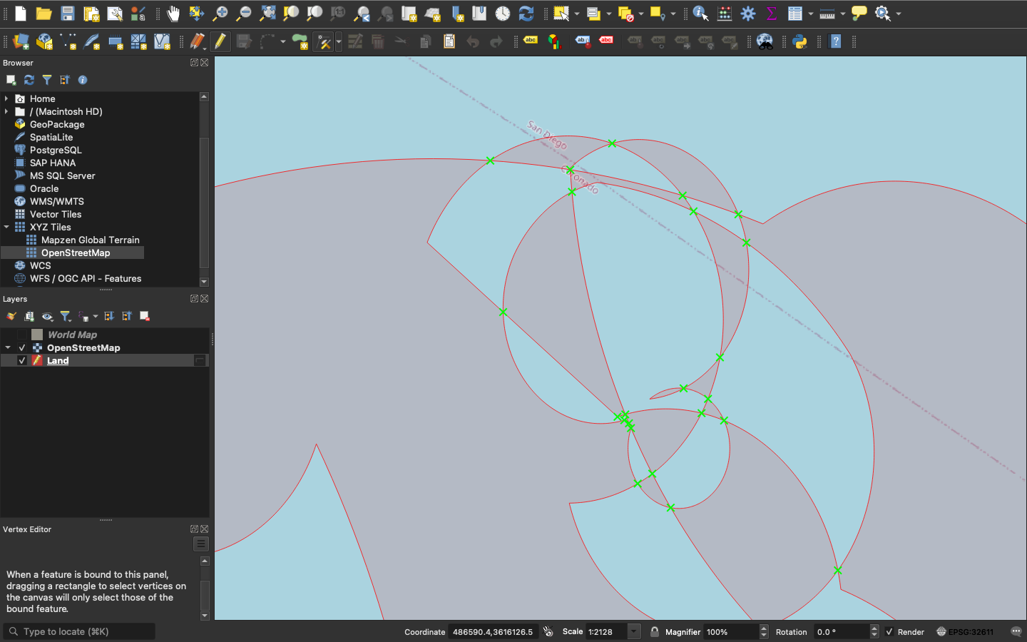
At about 12 minutes into the video tutorial, I got frustrated when we had to make an island. My vertexes wouldn’t move the way he said they should with the vertex editor tool, and I ended up make a bunch more “islands” to try and see what would happen. I’m still not sure what happened.
Alright, time to move on to the next tutorial. The Youtube video seems a little out of date, perhaps, and I was getting a little annoyed with the tools he was using being in different places from where my version had them.
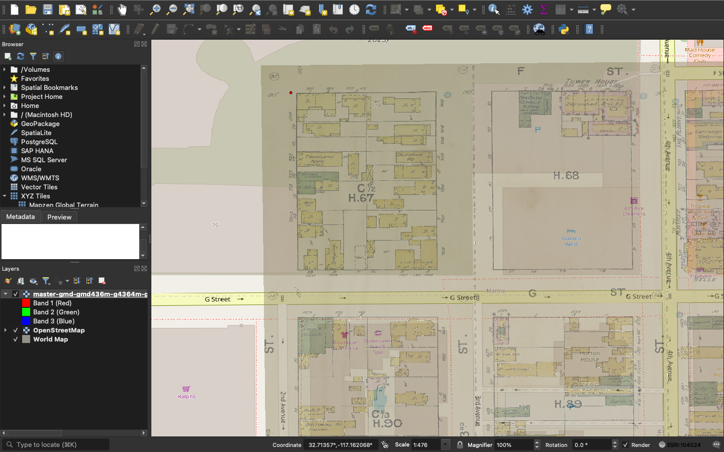
I didn’t have a problem adding the data, but I had some trouble overlaying the old map.
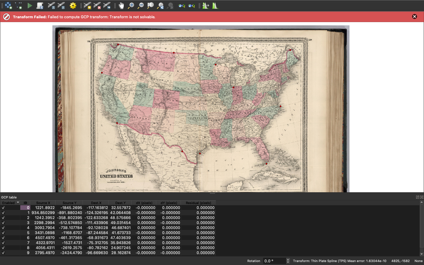
I tried this a few times, and nothing seemed to make it work. I liked QGIS, though, and I really wanted to learn how to better use the software, so I tried it with a smaller scale map (Doing such place-based research, I’ve always wanted to do this but didn’t know where to find the tech or how to use it!)
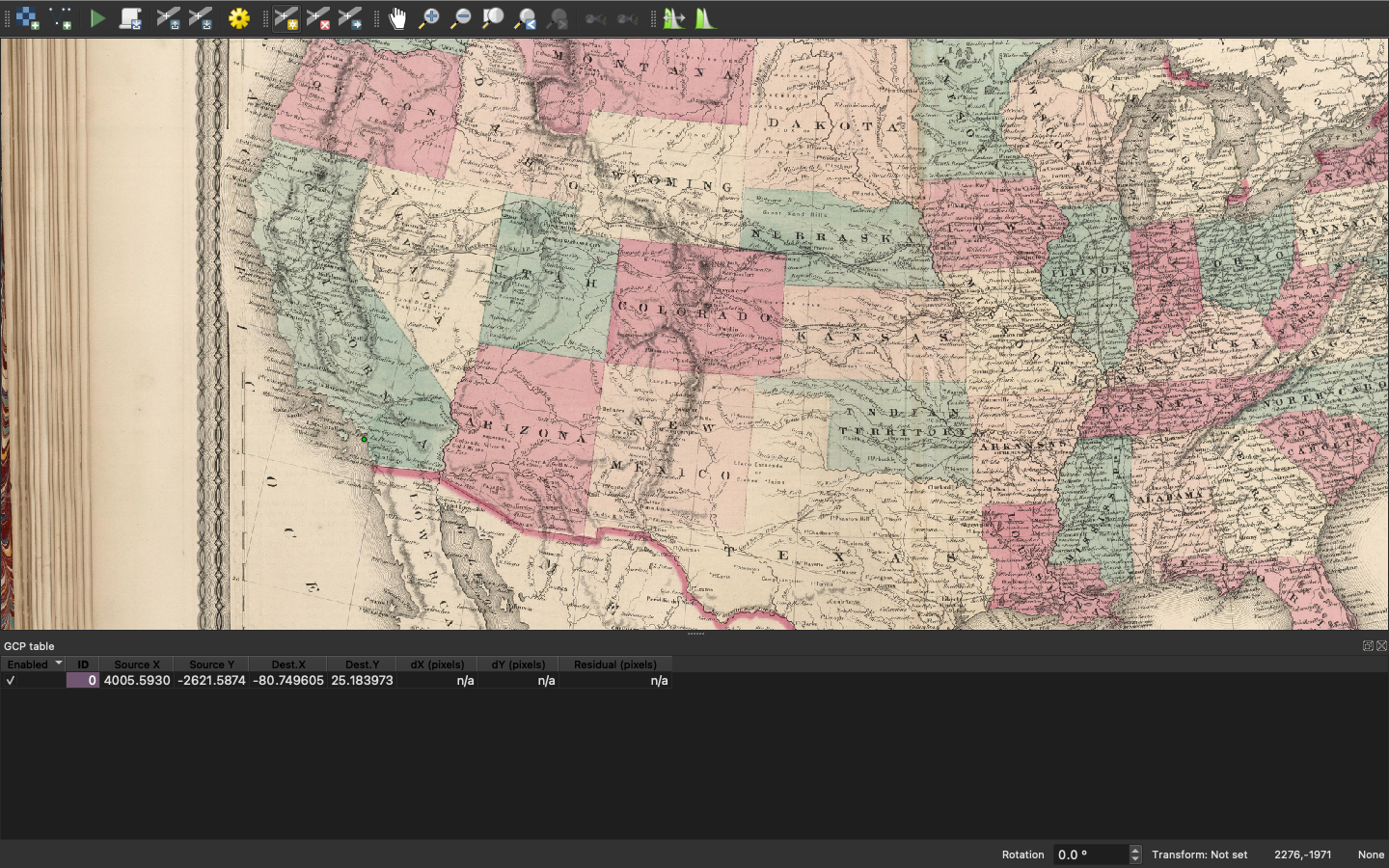
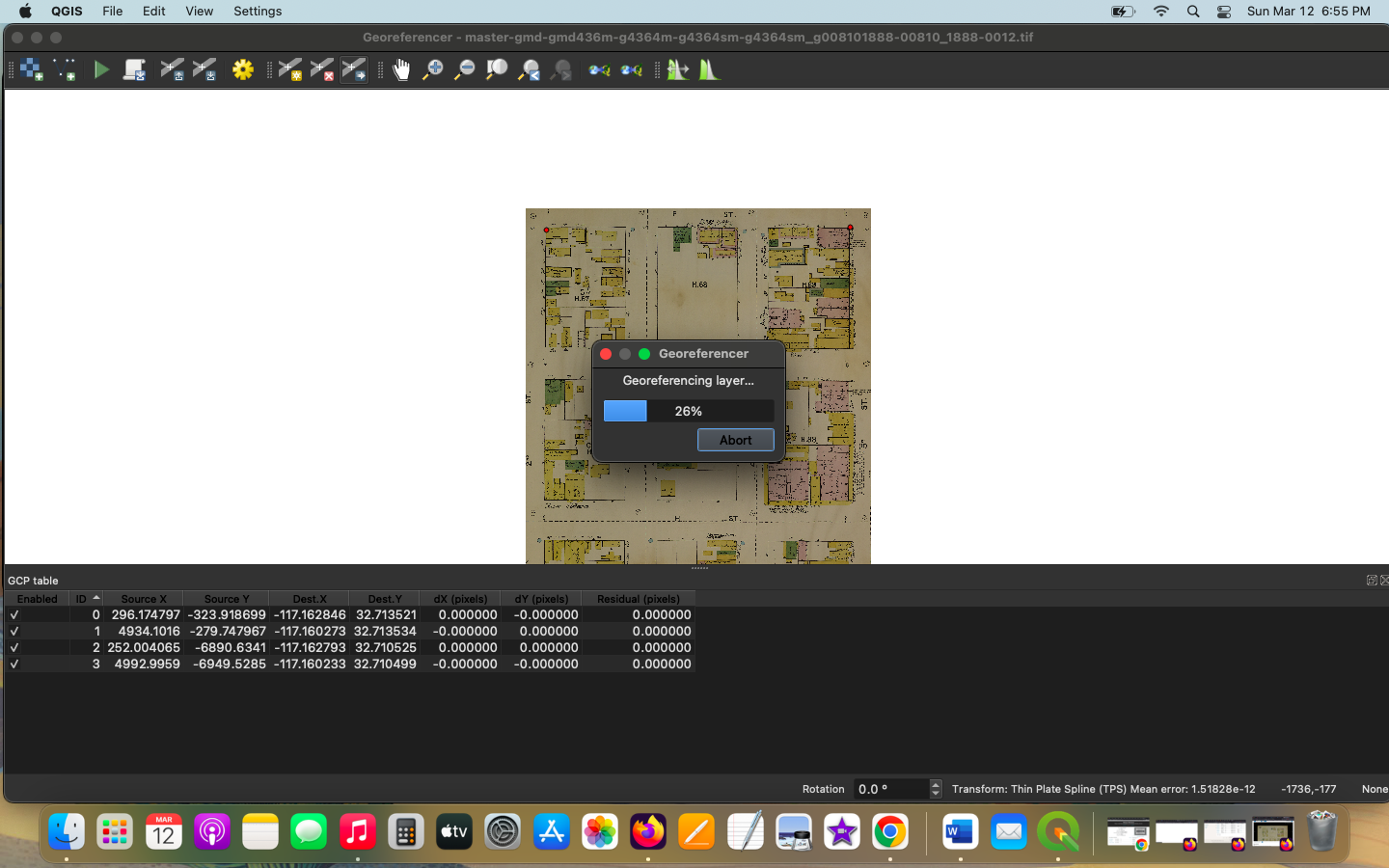
I was able to get the image to overlay on the map when I used a map with square points (like a block map). I had a hard time scrolling around the big map because I don’t have a mouse, only a track pad. Next time I use a more “wiggly” map (like the old US map) that is to be stretched out across a “real” map, I will be paying much closer attention to where I put the points.
This worked for me, but I still have a lot of questions about the software. There’s so much it can do that I’m a little overwhelmed, and I still have so many questions. Like, with the ESRI, why are so many of the locations in the US under UTM (isn’t that code for Mountain time zone?) and why does the map look like it’s been spliced when you first select the area you want?
I’m excited to keep trying with QGIS, even if it was a little confusing. I want to learn how to set it up so the transparency of the older map layer so it appears on a sliding scale for the viewer, and figure out how to add all the other elements it seems like you can add!